
 EN
EN
 ar
ar bg
bg hr
hr cs
cs da
da nl
nl fi
fi fr
fr de
de el
el hi
hi it
it ko
ko no
no pl
pl pt
pt ro
ro ru
ru es
es sv
sv tl
tl iw
iw id
id lv
lv lt
lt sr
sr sk
sk sl
sl uk
uk vi
vi et
et hu
hu th
th tr
tr fa
fa ms
ms hy
hy ka
ka ur
ur bn
bn mn
mn ta
ta kk
kk uz
uz ku
ku
wireless tiltmeters
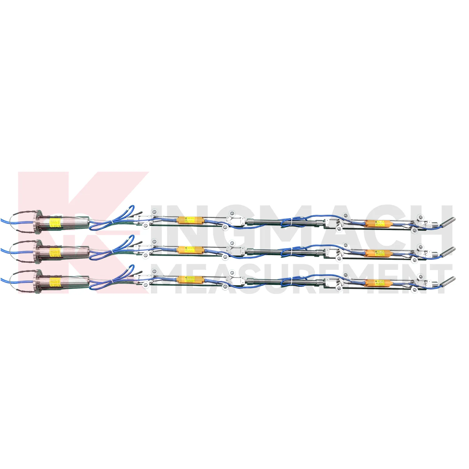
The JMZX-7100L sliding inclinometer is a field profiling instrument within the Kingmach wireless tiltmeters group. It is used for measuring horizontal displacement changes inside soil masses in dams, building foundations, embankment slopes, underground construction projects, geotechnical slopes, and port engineering. The instrument combines a sliding inclinometer probe with a 3D-MEMS silicon capacitor biaxial inclinometer sensor and an integrated testing instrument. It supports mobile phone APP reading, Bluetooth transmission, large storage capacity for millions of readings, data download for numerical and graphical analysis, real-time wireless network sending, Chinese and English menus, and dedicated post-processing software. Published specifications include +/-90 degrees sensor range, 500 mm guide wheel spacing reference, a probe size of 26 mm by 776 mm, 8.5 kg total weight, 2 kg probe weight, -20 degrees Celsius to +60 degrees Celsius operation, 180 m water pressure impermeability, and 100 g vibration resistance.
Application of wireless tiltmeters
Slope and geological hazard monitoring use wireless tiltmeters to detect internal movement before the surface condition becomes clear. JMQJ-7915ATS is especially relevant because its multi-point in-place inclinometer string can observe deformation at different depths inside a borehole. JMZX-7100L can also be used for sliding inclinometer profiling in geotechnical slopes, dams, embankment slopes, and port engineering. Slope tilt or inclinometer data should be read with rainfall, groundwater, crack width, surface displacement, retaining structure movement, and construction disturbance. The key question is often depth: is the movement shallow, deep, or concentrated along one weak layer? A borehole profile with consistent point naming and stable orientation gives engineers better evidence for warning, inspection, and stabilization planning.
The future of wireless tiltmeters
Future wireless tiltmeters will be specified with clearer compatibility requirements. A sensor by itself is only part of the system; the acquisition module, power supply, communication route, cable, platform, enclosure, and report format all affect performance. Kingmach product pages already list compatible data recorders and related instruments, which helps project teams build a connected monitoring package. Future specifications should state data output, channel capacity, baud rate, wireless method, battery expectation, protection grade, operating temperature, installation accessories, and software export needs. Clear compatibility reduces site delays and makes maintenance easier when parts are replaced. For owners, it also keeps the tilt monitoring record from becoming tied to one undocumented setup.
Care & Maintenance of wireless tiltmeters
Baseline maintenance for wireless tiltmeters should be treated as a controlled record. The first value should be taken after the sensor, bracket, borehole string, or casing has stabilized. Do not reset a baseline silently when a curve looks inconvenient. If the point is moved, recalibrated, repaired, or replaced, keep the old value, new value, date, reason, technician, and related photographs. For in-place inclinometer systems, record depth position and group communication information. For sliding inclinometer work, keep the casing reference and reading direction consistent. A visible baseline history makes long-term tilt data easier to defend during review, especially when monitoring extends across construction stages and ownership handover.
Kingmach wireless tiltmeters
Kingmach wireless tiltmeters help turn difficult-to-observe deformation into repeatable engineering evidence. Hidden parts of structures are often the hardest to judge: deep soil, buried retaining systems, bridge substructures, railway bases, foundation pit walls, and underground construction zones. Tilt measurement gives engineers a way to see angular change before visible damage becomes obvious. The product category is used in bridges, tunnels, slopes, buildings, foundation pits, geological hazard areas, railways, dams, embankments, port engineering, and other structural scenarios. The monitoring record should connect each sensor to a drawing location, axis label, baseline date, power source, communication path, and related construction activity. Without that context, even a precise angle may be hard to interpret. With it, tilt data can support timely inspection and measured engineering decisions.
FAQ
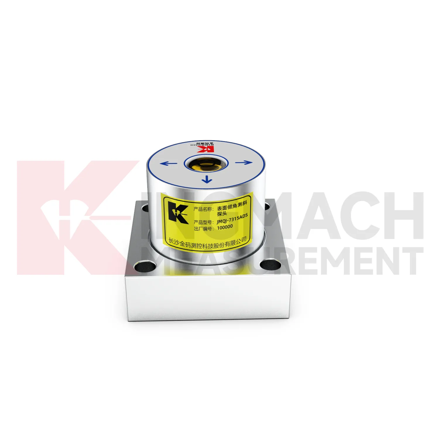
Q: How accurate is the JMQJ-7315ADS tiltmeter?
A: The product page lists 0.001 degree resolution and 0.01 degree accuracy for the +/-15 degree dual-axis model.Q: What protection grade does JMQJ-7315ADS have?
A: It is listed with IP68 waterproof protection and an operating environment from -30 degrees Celsius to +80 degrees Celsius.Q: What range does JMQJ-7315RTU provide?
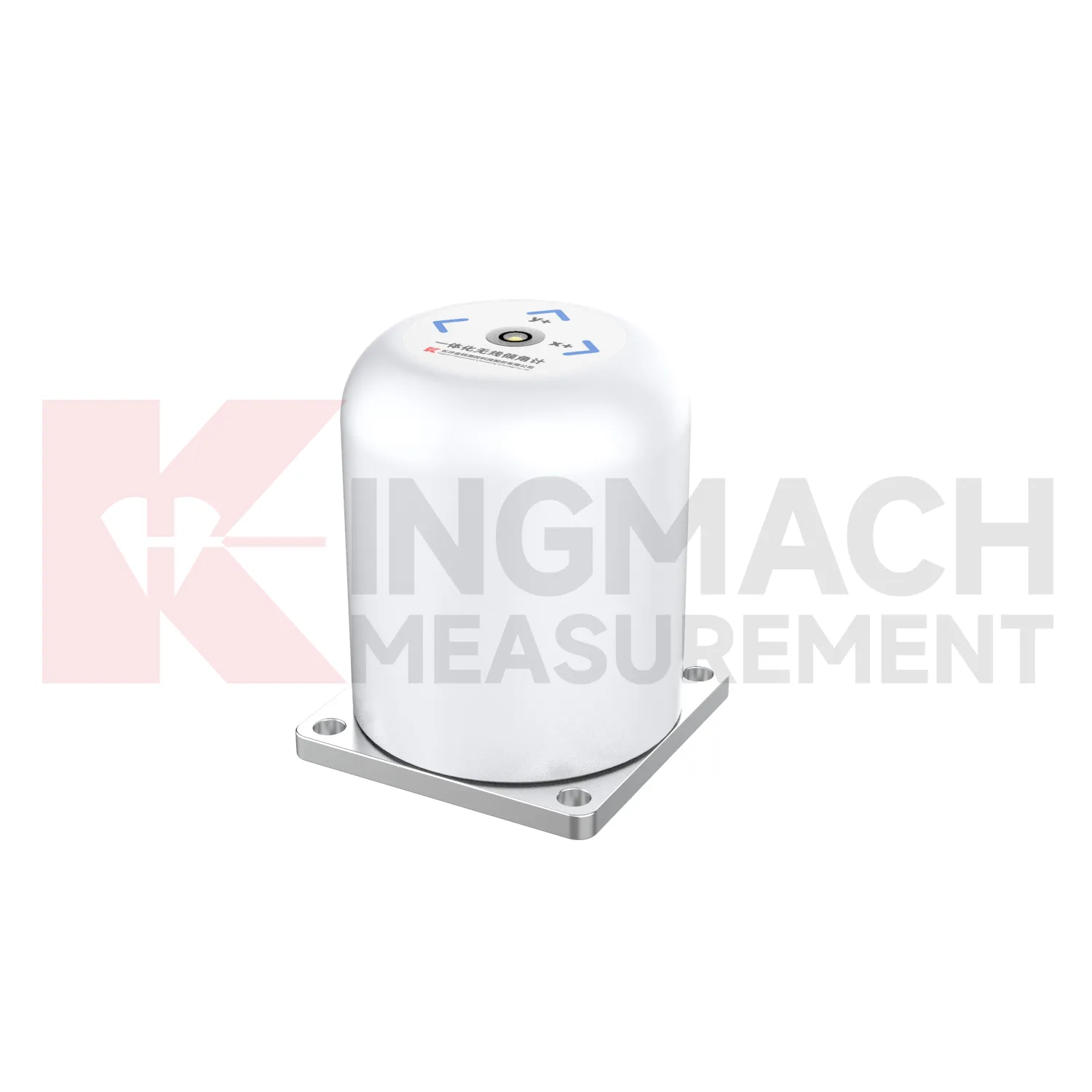
A: The integrated wireless model lists +/-30 degree and +/-15 degree dual-axis range options, with 0.001 resolution.Q: How many sensors can JMZX-4QH support?
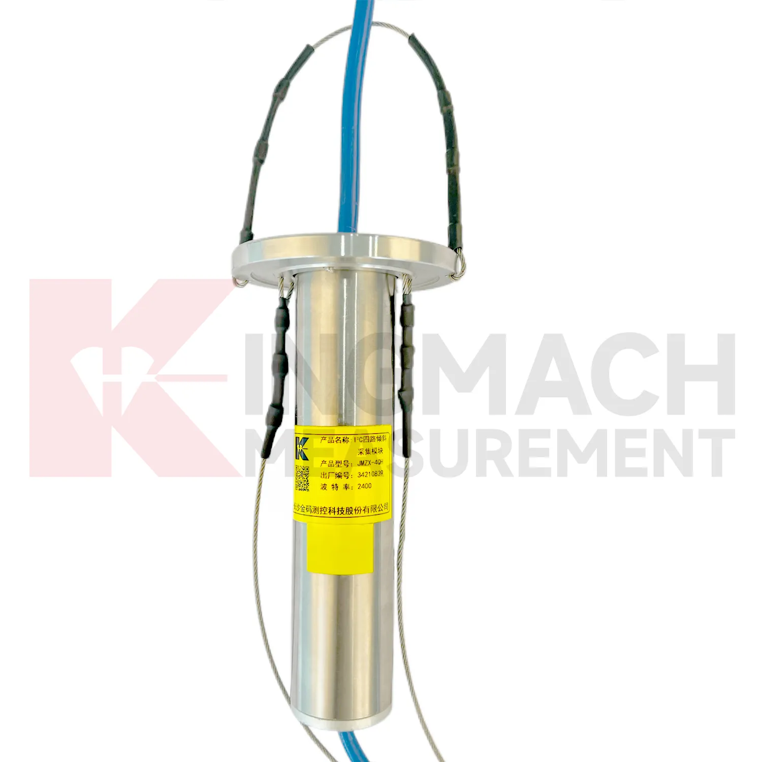
A: The module lists four channels and support for up to 100 sensors in a multi-point inclinometer system.Q: What is the guide wheel spacing for JMZX-7100L?
A: The sliding inclinometer page lists a 500 mm guide wheel spacing reference and a +/-90 degree sensor range.
Reviews
Daniel Brown
Excellent environmental monitoring sensors. The data is consistent, and the system integrates smoothly with our existing setup.
David Wilson
We purchased displacement transducers and settlement sensors, and the quality exceeded our expectations. Easy installation and reliable performance.
Latest Inquiries
To protect the privacy of our buyers, only public service email domains like Gmail, Yahoo, and MSN will be displayed. Additionally, only a limited portion of the inquiry content will be shown.
Ava***@gmail.comAustralia
Hi, I am looking for reliable tiltmeters and accelerometers for structural health monitoring. Please...
Harper***@gmail.comIndia
Dear Sir, we are planning to procure a complete monitoring system including strain gauges, tiltmeter...